people know mount everest
it’s the tallest mountain in the world
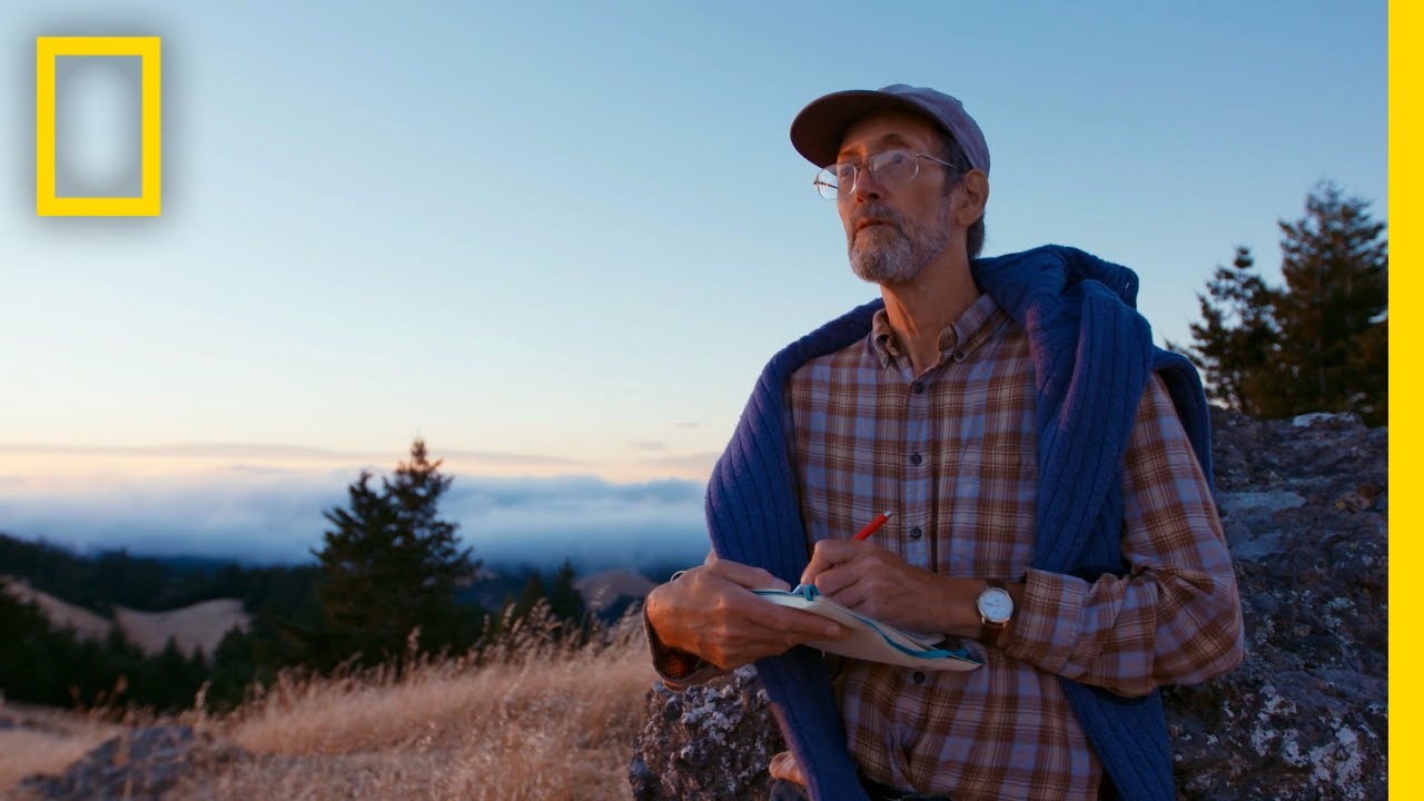
the big questions this expedition is
answering is
how climate change is happening in the
high mountain regions
maps are a critical tool for being able
to measure the changes in the glacial
extent
[Music]
when we came over the crest of the hill
and took a look at base camp the first
time i was like oh my god i can’t
believe we’re gonna be trying to map
[Music]
this
mount everest has been on the map since
the mid 19th century
but it wasn’t until about the 1920s when
the british first started
sending expeditions to the north side of
mount everest through tibet
that we got large-scale detailed mapping
they were doing all their surveying
using photographs
and telescopic instruments to tie things
together
on a topographic map the transition from
maps as paper products to maps as
digital products
has changed the way we work with
geographic data
we’re going to reconstruct how the
glaciers have changed
with the increased warming of the
climate in this part of the world
[Music]
so at this angle or
correct yeah whoa
crazy that’s one of the many apple
hitches every day
[Music]
people understand everest as this big
beautiful mountain with a huge glacier
running down
it if that glacier is gone
that’s something that can’t be brought
back
[Music]
as the glaciers melt there’s an initial
increase in the amount of water
available
and then eventually a decrease in the
amount of water available to the rivers
that
come out of high mountain asia
hundreds of millions of people are going
to be affected downstream
[Music]
the kumbu glacier is the highest glacier
in the world
it starts at about 8 000 meters on mount
everest and
what’s called the accumulation zone it’s
where all the snow falls and starts
compressing into ice and flowing
downhill
base camp it’s a launching point for
expeditions and climbers
that are intending to summit mount
everest
we wanted to map the full extent of that
to capture the physical information but
also to better understand
how climate is modifying the glacier
the work that chris and i are doing here
at base camp will be the most detailed
map
of the kombu glacier that’s ever been
put together
the equipment that chris and i are using
is a very recently developed
terrestrial-based lidar system
we’re combining that with our
helicopter-based lidar scanning
using a very advanced device from
virtual wonders
our partners on the helicopter scan
the tools that we use for the
terrestrial mapping
are really three-fold we’re using lidar
which is a laser scanning tool
it shoots at two million points per
second taking individual measurements in
a 360 degree sphere
and measures everything that it can see
if you do that in enough places
you build an overall topographical model
of whatever it is you’re scanning
base camp is about three kilometers from
one end to the other and a couple
hundred meters
wide and it took us many stations to be
able to collect all the data that we
needed for all the tent areas
and the glacial areas that are used for
base camp
once you create a 3d model you then need
to what’s called skin the model
with very detailed imagery
we take pictures using dslr photography
we’re going to take high resolution
images to paste onto those measurements
that the laser scanning provides
so right now i’m taking three frames at
a time
two-stop exposure bracket we have
bright bright snow and really dark
shadows
we need to be able to capture all of
that information
if we were to lose highlights or lose
shadows when we’re building that
environment that the model is going to
go into
we just don’t have that data we’re never
capturing it again
so we’re doing our first uh overview
pass with the drone so flying at about
50 meters
it’ll fill any gaps that we might miss
with a lidar and with
ground-based photographic work
this is a really difficult environment
drones really help us give the overall
perspective
on everest base camp
and the last thing that we’re doing is
taking a helicopter and attaching a
lidar system
and a video camera and flying it up and
down the kumbu in a gridded pattern so
that they can create a map of a much
greater scale
the combination on the helicopter of the
very advanced lidar
and the photogrammetry will allow us to
provide very
detailed imagery on the surface of the
model
once we’re back in the lab we can see
all the different lidar data collected
in one view we’ve done a
very very detailed map of the kombu
glacier
this is base camp the entirety of what
you’re seeing here is computer generated
once you get the full resolution of the
photography it’s going to be a virtual
reality experience
as if you were there looking at the
tents at base camp
so if we take our 3d model we can dive
into it and start looking at more and
more of the detail that’s captured
by the point cloud what we’re going to
be able to do
is take this data and reconstruct how
the glaciers have changed
one of the things that you can notice
the kumbu glacier has
receded it’s probably dropped tens of
meters
in its elevation so it’s had a ice loss
that’s really pronounced for such a
short time period
this is a global issue that’s going to
have global ramifications
every person in the world will be
affected by this
one of the goals is to not just generate
new science
but have the chance to build on the
legacy of mapping this area
to instill in people how important
climate change is and to start working
on addressing it now
for a successful future
[Music]
you